When you buy through our links, we may earn a commission. See our Affiliate Policy.
After spending two weeks road-tripping across the Olympic Peninsula, walking along the coast, hiking through moss-covered rainforests and exploring waterfalls near Lake Crescent, we were finally headed into the mountains to check out Hurricane Ridge.
As we were researching hikes around Hurricane Ridge, we came across Obstruction Point Road (aka “the scariest road in Washington”). It’s a narrow, single lane gravel road with no guardrails and steep drop-offs. We were intrigued, so, naturally we had to check it out for ourselves!
We’d hoped to stay closer to Port Angeles, but we booked late in the season and most places either were too expensive or had no availability, so we settled on Sequim, the Lavender Capital of North America. Staying here did add 25 extra minutes to our drive into the mountains, but it wasn’t bad.
Even with a slightly longer drive, Sequim made a great home base for exploring the northern part of Olympic National Park.
Planning Your Trip to the Olympic Peninsula?
More remote places like Obstruction Point don’t have shuttle service which means you’ll need your own car and a nearby stay.
- Expedia has places in Port Angeles and Sequim, many with free cancellation.
- A car makes exploring this part of Washington state easier. You can compare rental prices on Booking.com.
Driving the “Scariest Road in Washington”
When we finally made it to Hurricane Ridge that morning, we didn’t immediately head to Obstruction Point Road. We actually parked at the Hurricane Ridge parking lot and walked over to the start of the gravel to see what we were getting into.
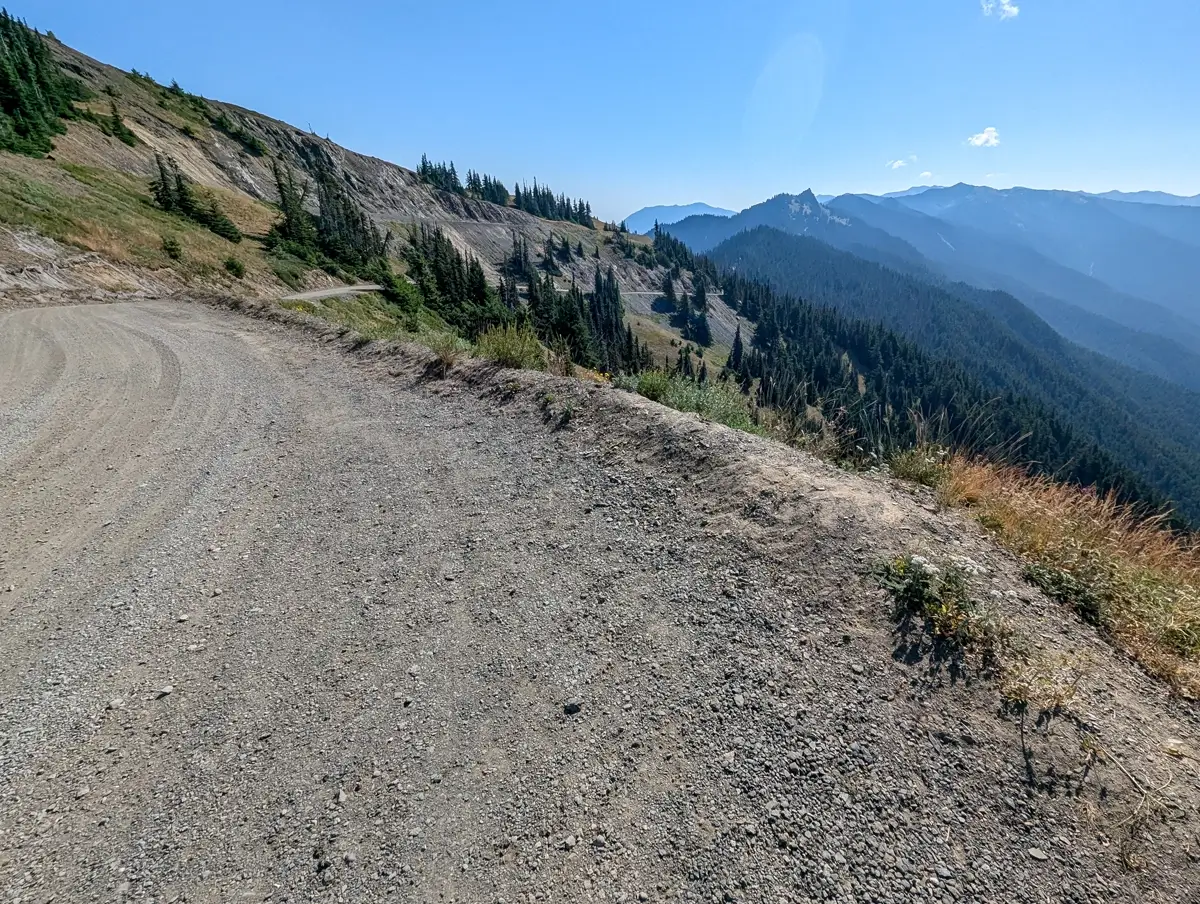
It didn’t look that bad. We could see the steep drop-offs and some blind corners, but nothing we would be terrified to drive on.
Obstruction Point Road is only 8 miles long, but we didn’t make it to the trailhead quickly. Since it’s one-lane and gravel the entire way, we average around 10 mph. The road winds through the mountains, gets you close to the edge in a few places and has quite a few blind corners and dust kicked up by other cars.
This road is usually open from early July through mid-October, but the exact dates depend on snowpack and weather. You can check out the Olympic National Park road conditions page for the latest road closure updates.
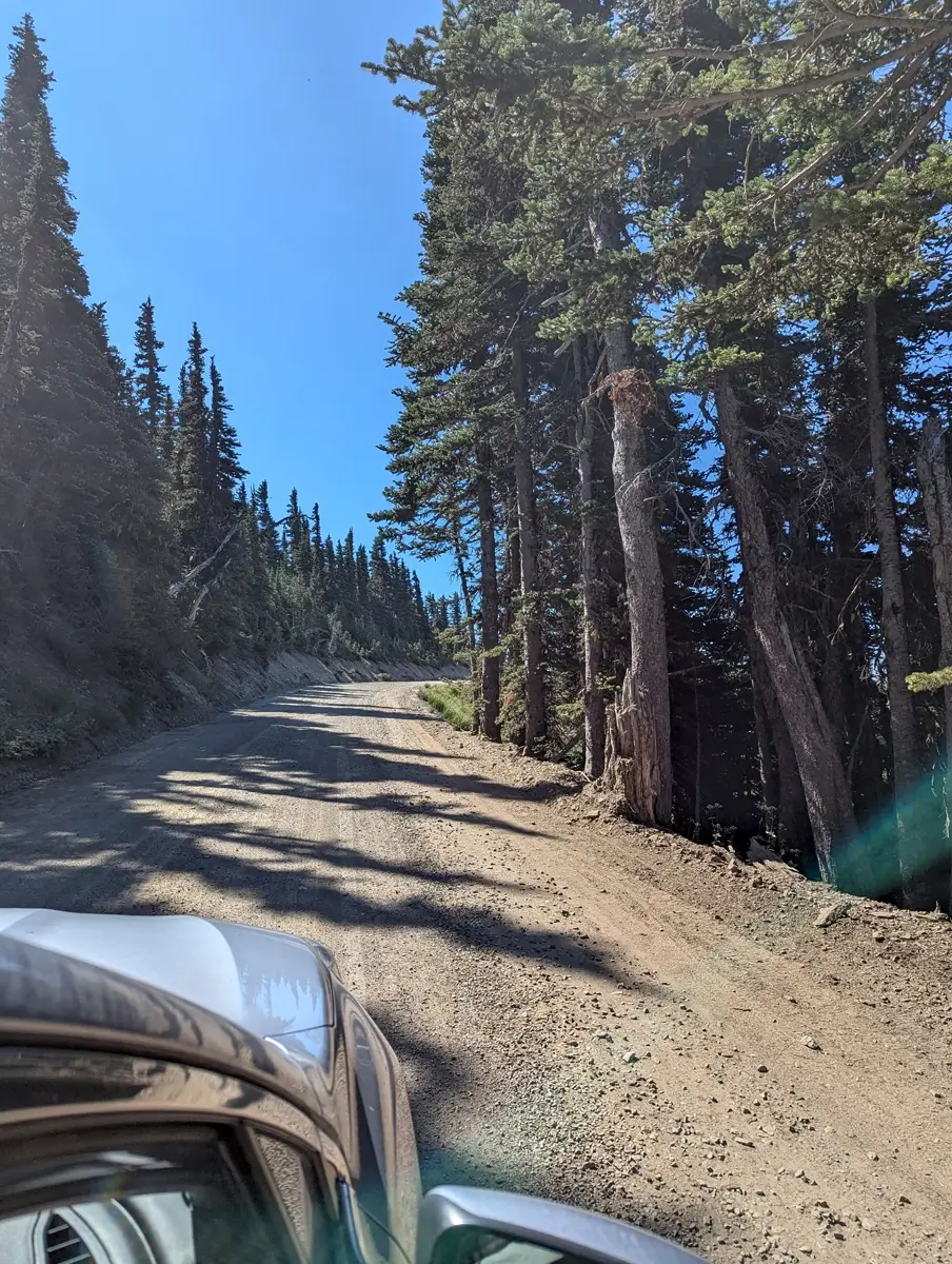
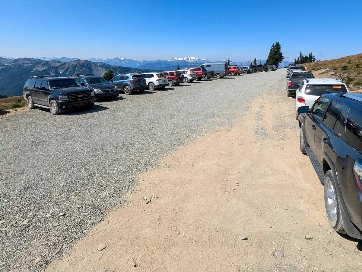
We drove in our 2020 Subaru Legacy, which handled the road without any issues. After we made it to the parking area, we saw all kinds of cars parked up there including a Prius. So if you’ve turned off by people online saying “only high clearance vehicles can make it,” you can probably ignore that.
If a Prius can do it, your car probably can too.
You don’t need an SUV, but having your own car is a must for places like this. Booking.com makes it easy to find something reliable if you’re flying in.
Driving close to the rocky edge was like our drive out to Cape Flattery (the northwesternmost point in the contiguous United States), which meant Minerva wasn’t too thrilled. On the way in, the passenger sits on the side closest to the drop-offs.
We started the drive a little after 10am and passed maybe 2 other cars coming the other way. The small parking lot was already full by the time we made it to the Obstruction Point Trailhead. But there’s plenty of room to park safely (and single file) along the road. Don’t worry, it’s not right along the edge of the cliff.
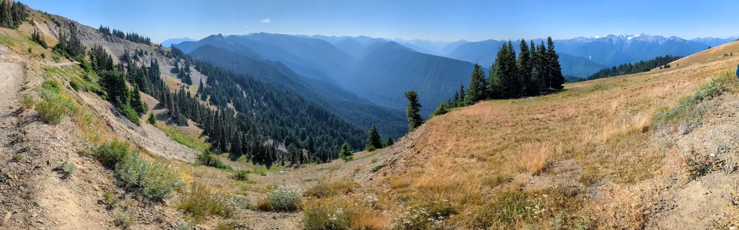
Arriving at the Obstruction Point Trailhead
After reading everything online about the drive being “dangerous” or “terrifying,” we were so happy we didn’t let that stop us. The mountain views are incredible and since Obstruction Point sits above 6,000 feet, you really do feel like you’re standing on top of the world.
We opened our trunk and got our gear together. We didn’t plan for this to be an all-day hike since we’d left our dogs back at the Airbnb, so we packed only our hiking poles, sunglasses, hats and our backpacks with water bladders and snacks.
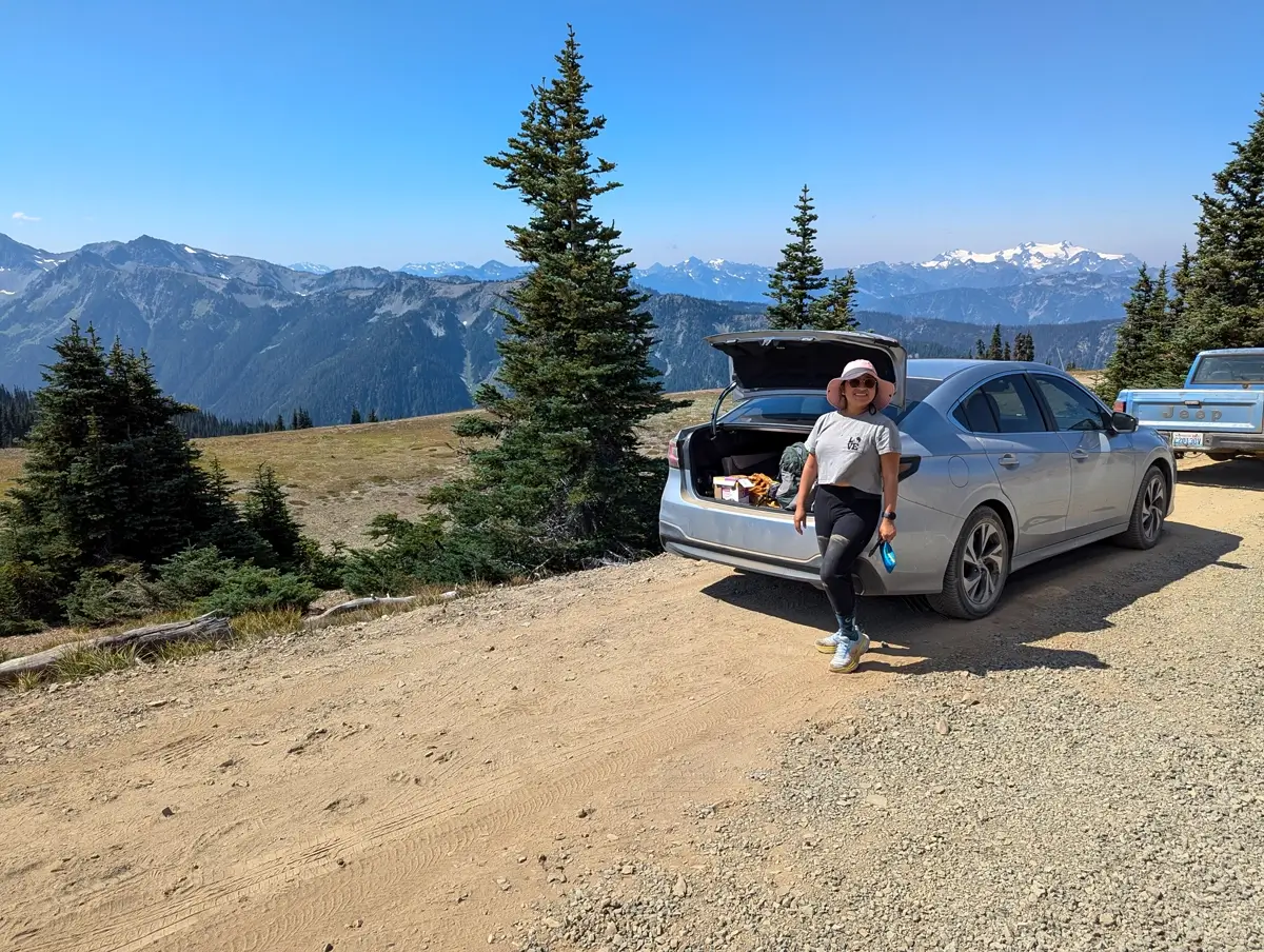
Since we were heading into the mountains and walking along ridgelines (probably with very limited cell signal), we also brought our Garmin inReach Mini 2 and some of our usual emergency gear (like ropes and carabiners). Just in case.
Check out the gear we use if you’re curious what we bring along for our hikes.
What surprised us most was how quickly it felt remote. Hurricane Ridge is beautiful, but it’s much busier with all the visitors it attracts. Here, we were stepping off the end of the road and into actual backcountry, just eight miles from one of the busiest viewpoints in the park.
Hiking the Grand Valley Trail from Obstruction Point
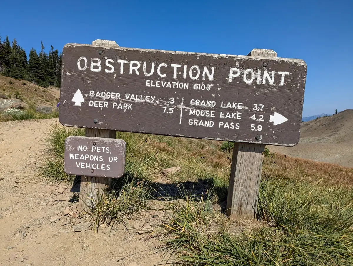
We didn’t really pick the Grand Valley Trail for any specific reason. Really just because it was one of the trails that branched off from the Obstruction Point Trailhead. We figured we’d hike a couple miles out, see how far we could get, then turn around with enough time to get back to the pups.
We original decided we’d hike the Grand Pass Trail down towards Grand Lake, but once we started walking, we kept taking pictures of the mountains and never really got out of the valley.
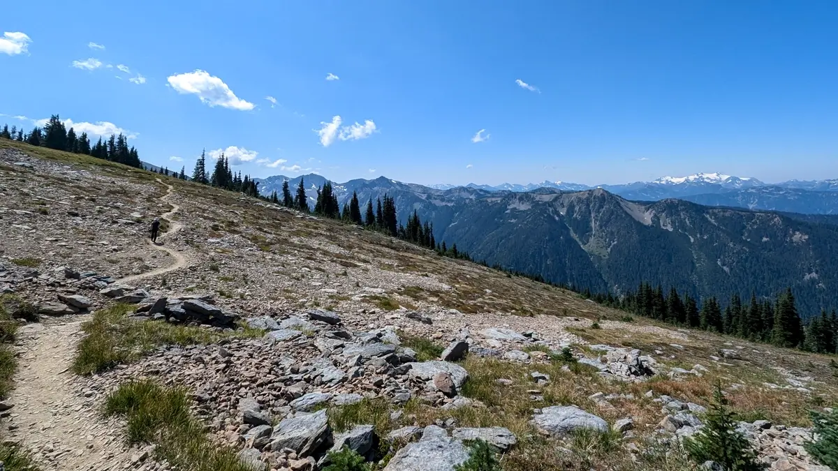
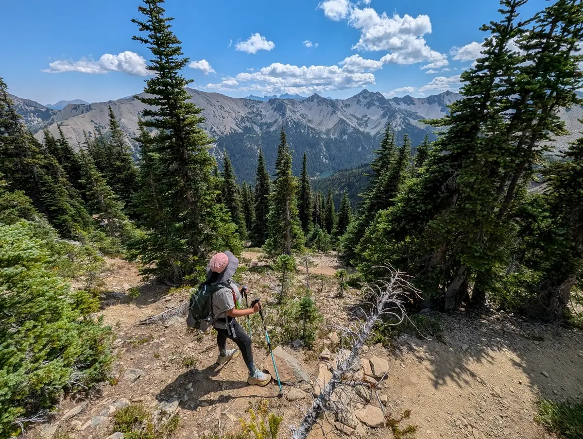
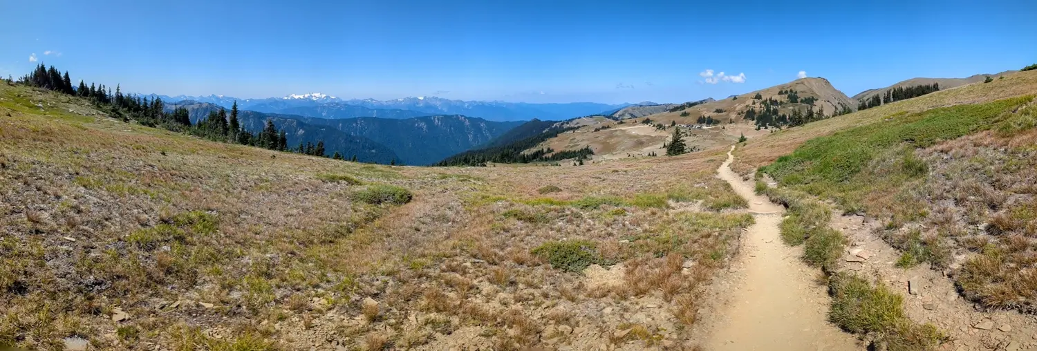
The trail starts off open, dry, dusty and exposed. There’s not much in the way of trees or shade. The sun was out, but since we were above 6,000 feet, it didn’t feel too hot. It felt more like a cool summer breeze. Still, we were glad to have our wide-brimmed hats and sunglasses.
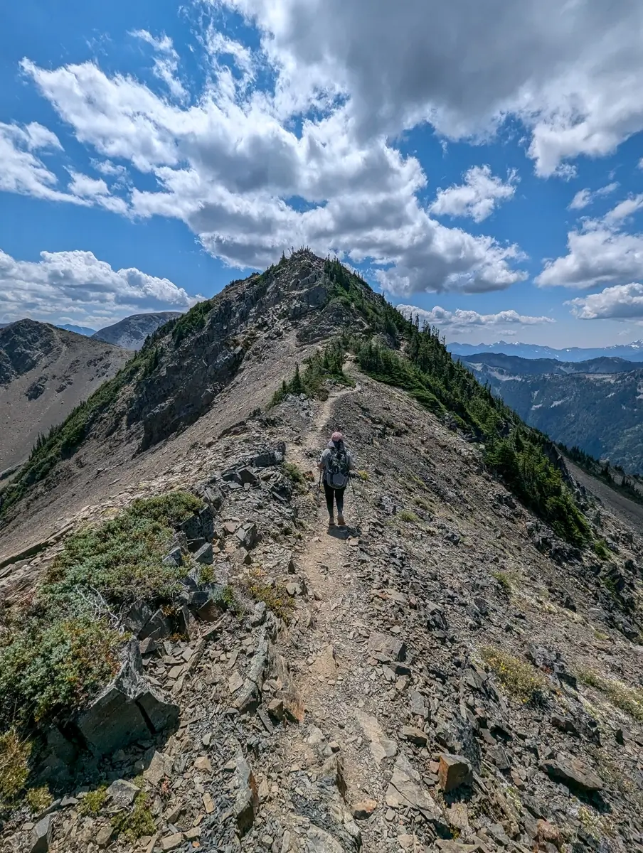
The trail loosely follows the ridgeline, so while we weren’t walking right on the edge, we would get pretty close at points. It never felt dangerous, but there were definitely a few spots where we were happy to have our hiking poles for the extra balance.
Along the hike, we came across clusters of yellow, purple and red wildflowers. We didn’t know what most of them were (a quick Google search says maybe cinquefoil, harebells and possibly Lapland diapensia?), but their colors really stood out against the dry and rocky landscape.
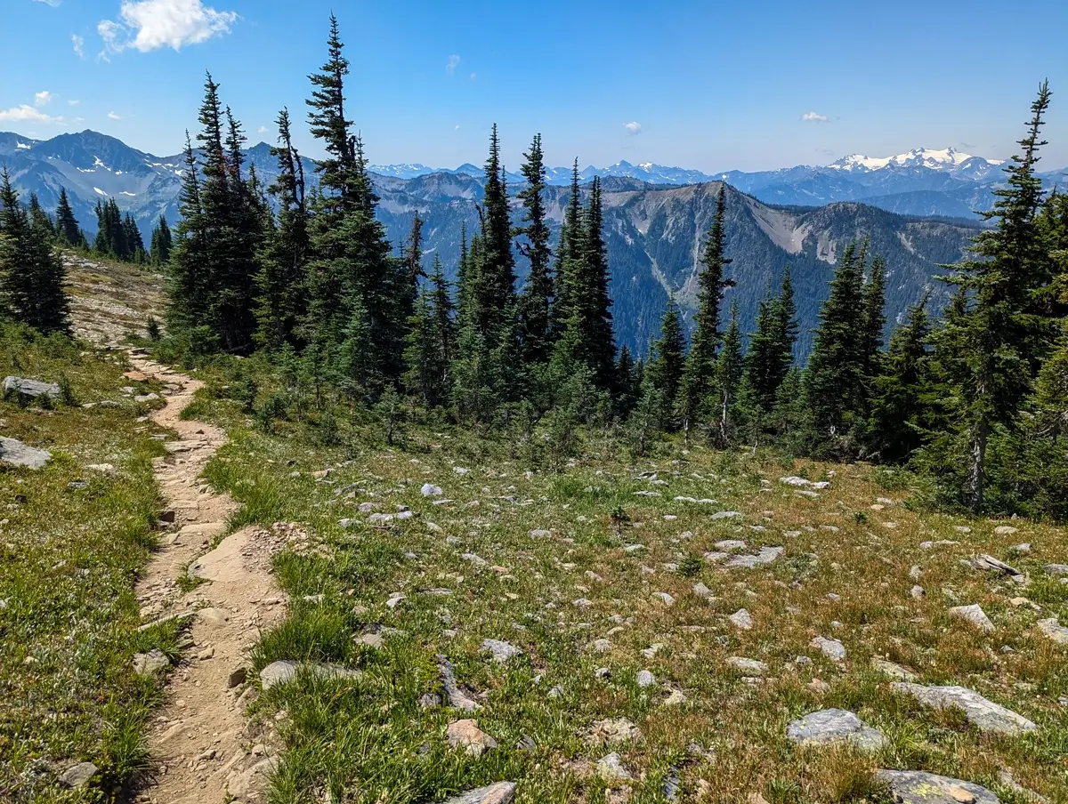
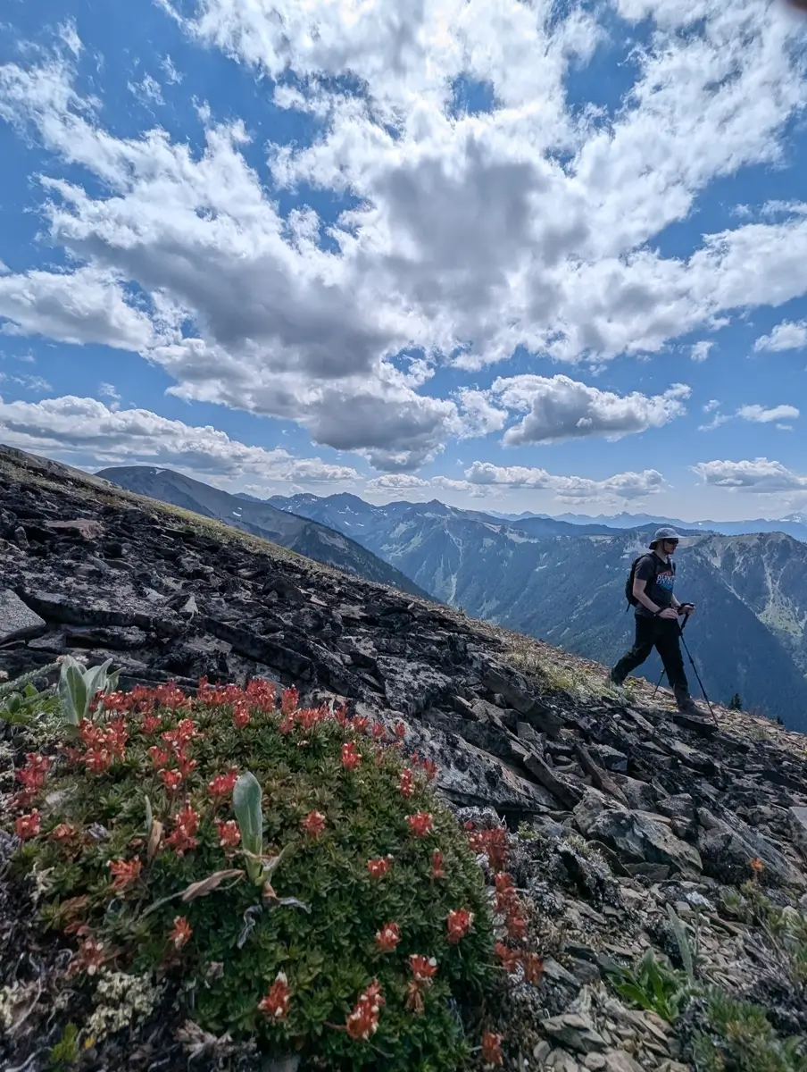
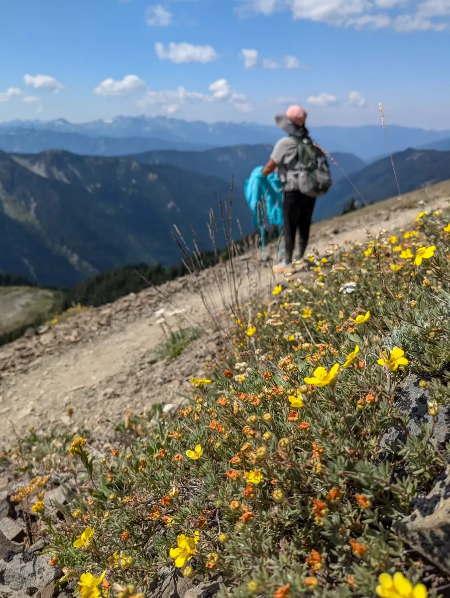
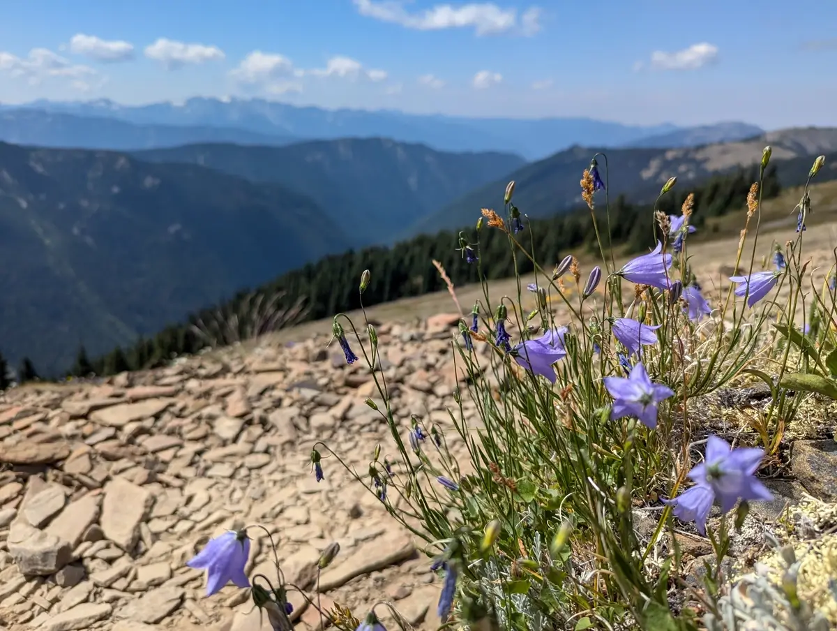
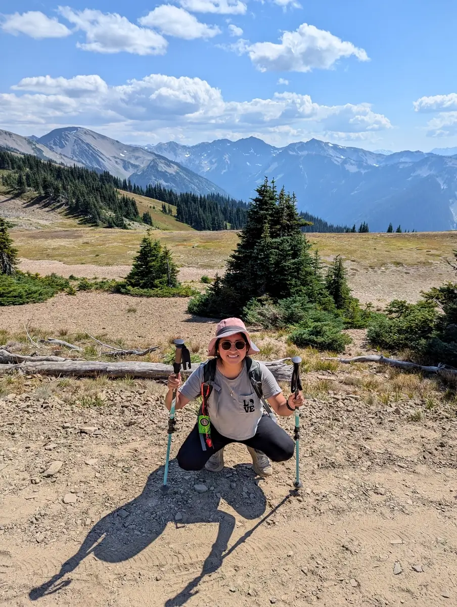
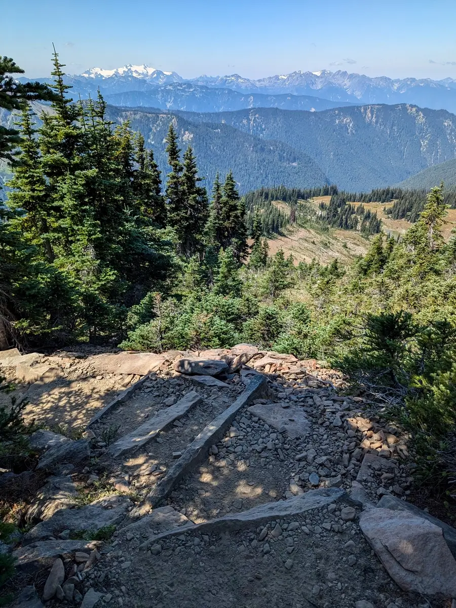
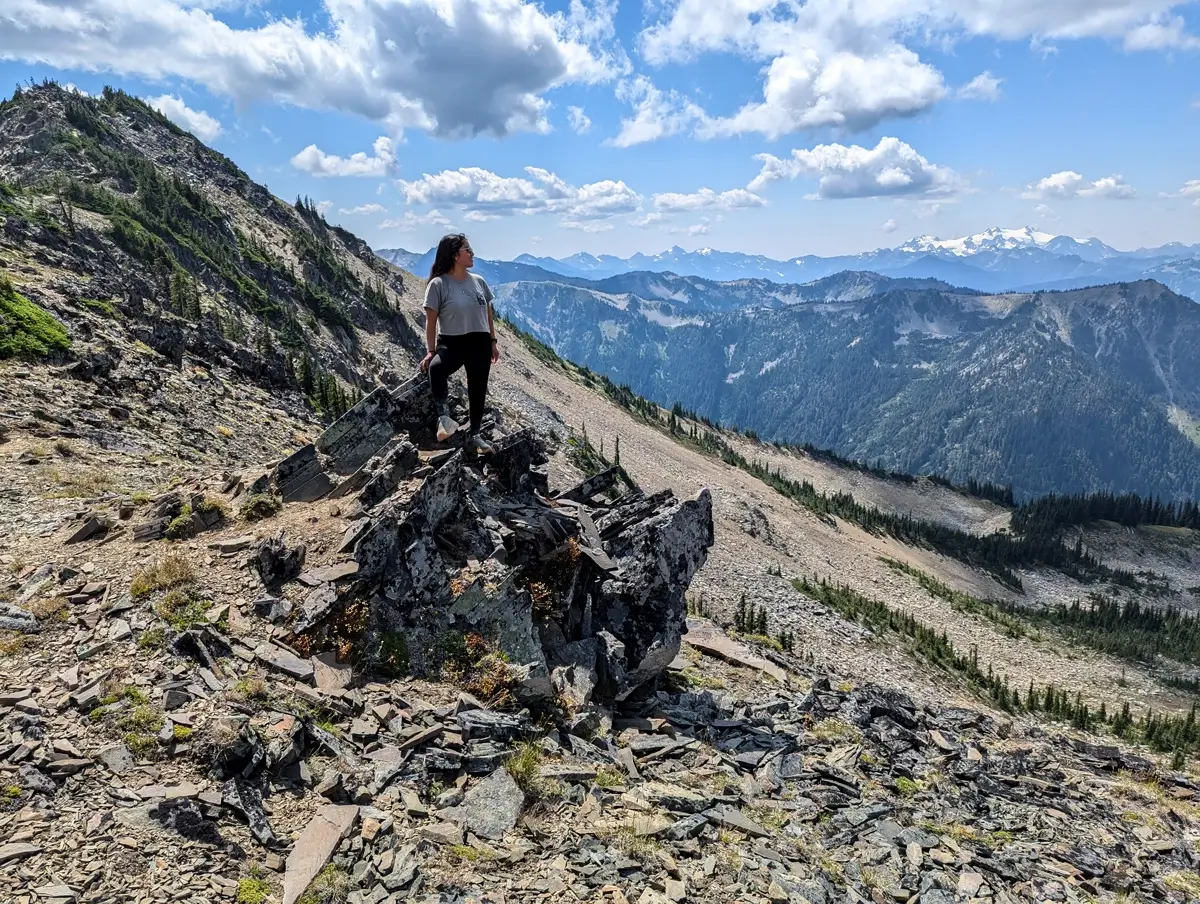
About 1.6 miles in, we came across this short little offshoot towards a narrow rocky hill right off the main trail. We hiked up and could see the snow covered Mount Olympic right in front of us.
I think we could have stayed up there all day if we didn’t have the dogs back at the Airbnb.
How Far We Hiked on the Grand Valley Trail
Just before the trail dips down toward Grand Lake and Moose Lake (around the 2-mile mark) we decided this would be where we would turn around. From that spot, you can look down into the valley and see the lake below. It’s a beautiful view, but we knew if we went further, it’d be a tougher climb back up and we still needed to get back to let the dogs out.
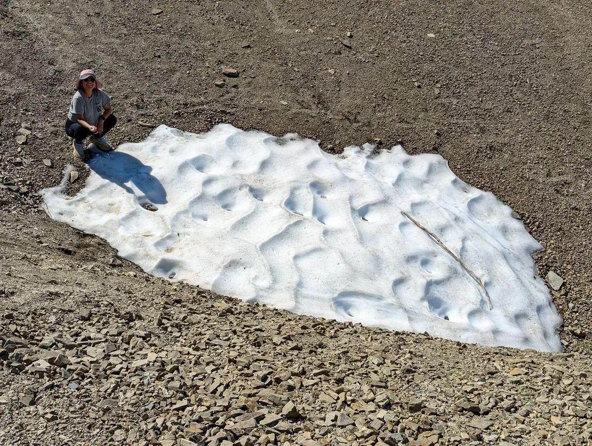
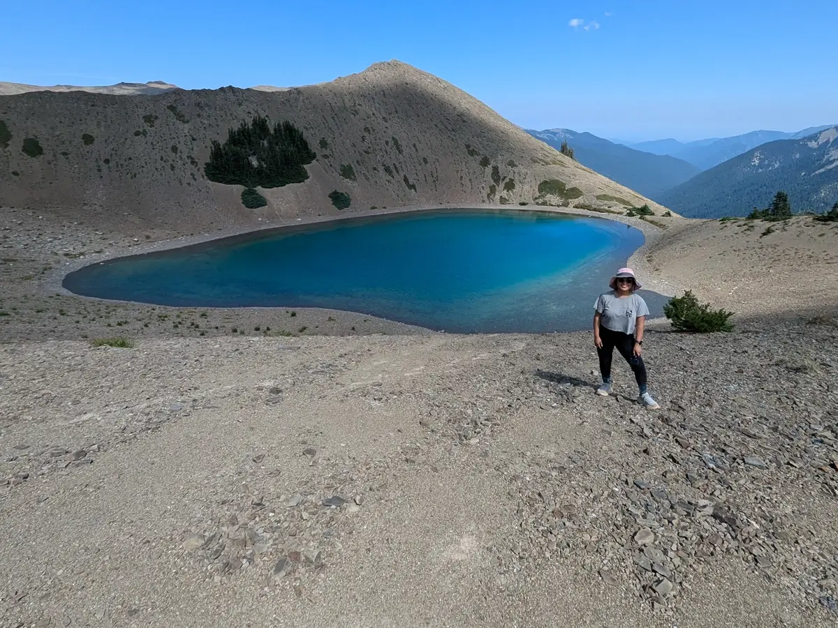
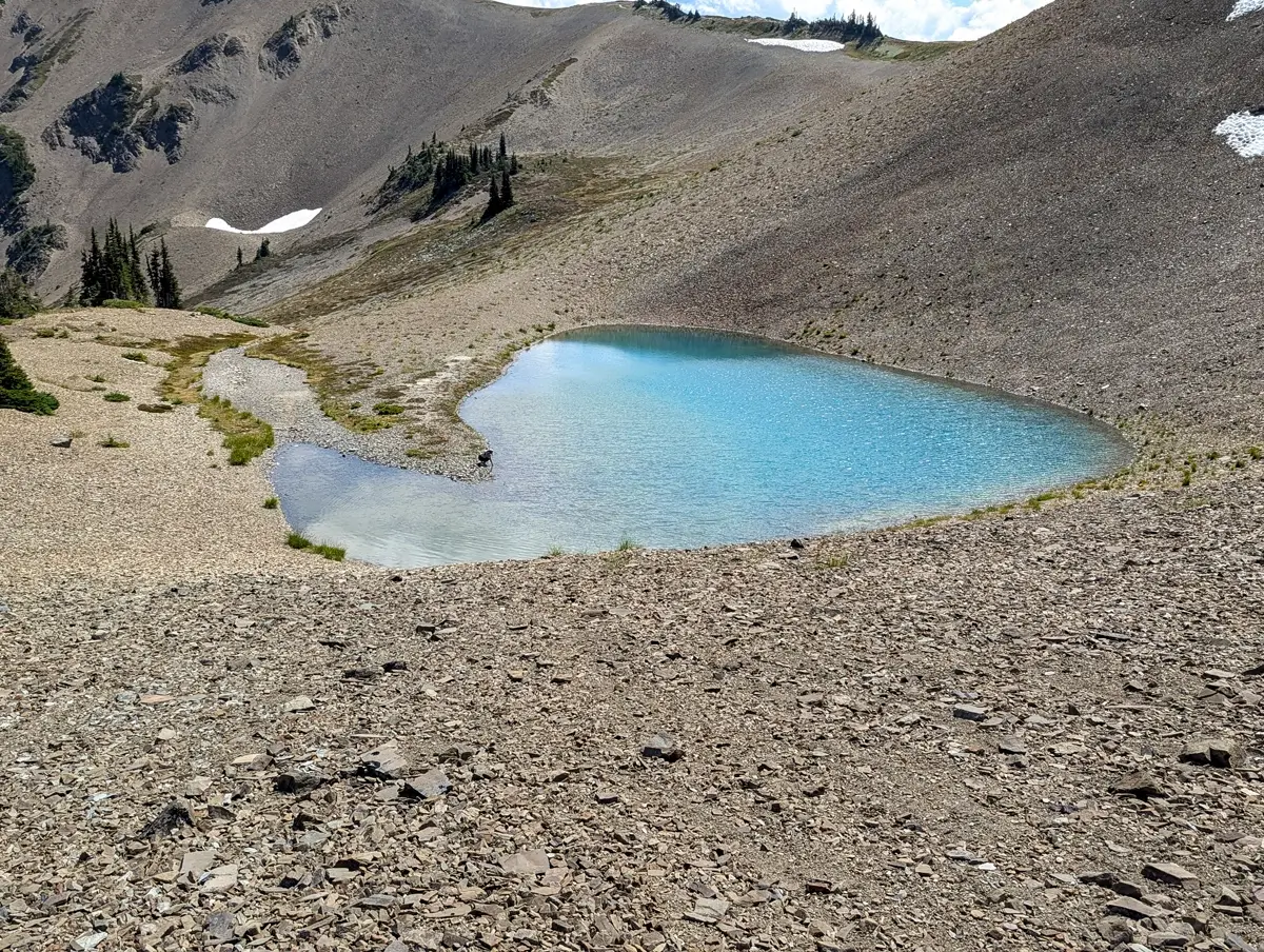
We saw way more than we expected from just two miles in. Small ponds that looked like nothing from a distance, turned out to be brilliant blue pools, which were probably formed by glacial melt. We even found a few snow patches tucked into shady spots on the mountain, which surprised us given how warm and sunny it was.
Back to the Pavement
The drive back along Obstruction Point Road wasn’t much different than the way in. We ran into a few more cars, but we had gotten used to spotting a dust cloud ahead, pulling into a turnout and then let them pass.
Is Obstruction Point Road Really That Scary?
No, I wouldn’t consider it to be scary. We get why people might call it that, though, because it is narrow, it does have drop-offs, and if you’re not used to gravel or mountain driving, it might be a little stressful. But if you take it slow and look out for other cars, it’s not bad at all.
I actually think people who write it off are missing out on one of the most scenic and rewarding hikes in the park.
Why Obstruction Point Belongs on Your Olympic National Park Itinerary
If you’re visiting Olympic and are looking for something beyond the standard stops, this is it. You don’t have to hike the whole Grand Pass Trail or go deep into the backcountry, though. Just making the drive out to Obstruction Point and hiking a couple miles into the mountains gives you a whole new perspective on the park.
Would we do it again? Absolutely! Next time, we’d love to hike all the way down to Grand Lake and maybe even do the Grand Valley Loop. But even just those first two miles gave us one of our favorite days in Olympic.
Quick Tips for Visiting Obstruction Point and Hiking Grand Valley Trail
- Start early: The trailhead lot is small and it fills up fast.
- Drive slow: The road is fine, but just take your time.
- Bring hiking poles: Especially if heights or loose rock make you uneasy.
- Wear sun protection: The trail is fully exposed so sunscreen, sunglasses and a hat are helpful.
- Leave the pups behind: Dogs are not allowed on this trail.
More Olympic Peninsula Hikes to Add to Your Itinerary
If you’re planning a trip to Olympic National Park, Obstruction Point is just one of the many incredible places to explore. After spending two weeks around the Olympic Peninsula, here are a couple of our favorite hikes nearby:
- Shi Shi Beach: This is a more remote hike that brings you to our favorite Olympic coastal beach.
- Cape Flattery: The northwesternmost point in the lower 48. It’s a short, dog-friendly walk that leads you to ocean cliffs, sea caves, whales and a wide open view of the Pacific Ocean.
- Hall of Mosses: A quick loop in the Hoh Rain Forest that brings you into the moss and fern covered forest that Olympic is known for.
- Marymere Falls: A peaceful forest walk near Lake Crescent that leads you to a beautiful waterfall.
- Sol Duc Falls: A short but rewarding hike with one of the most powerful waterfalls we’ve seen in the park.
Each of these is very different from hiking Grand Valley, but just as memorable in their own way.
Leave a Reply