When you buy through our links, we may earn a commission. See our Affiliate Policy.
It’s hard to believe one of Olympic National Park’s most stunning waterfalls is just a short walk from the parking lot off Lake Crescent Road. The trail to Marymere Falls is quick, peaceful, and filled with little moments that stick with you, like the towering maples and conifers, fern-covered forest floors, and a 90-foot tall waterfall that feels like it’s been pulled straight from the pages of a novel.
Table of Contents
Getting to Marymere Falls: Trailhead & Parking Tips
We parked at the Marymere Falls Trailhead, which sits just off Highway 101 near Lake Crescent. If you’re heading here in summer, know that the parking lot fills up fast—it’s a circular lot that can fit plenty of cars, but it was completely packed when we arrived around 5pm in the middle of August. We saw cars lined up along the roadside and even parked down by the Lake Crescent Pier.

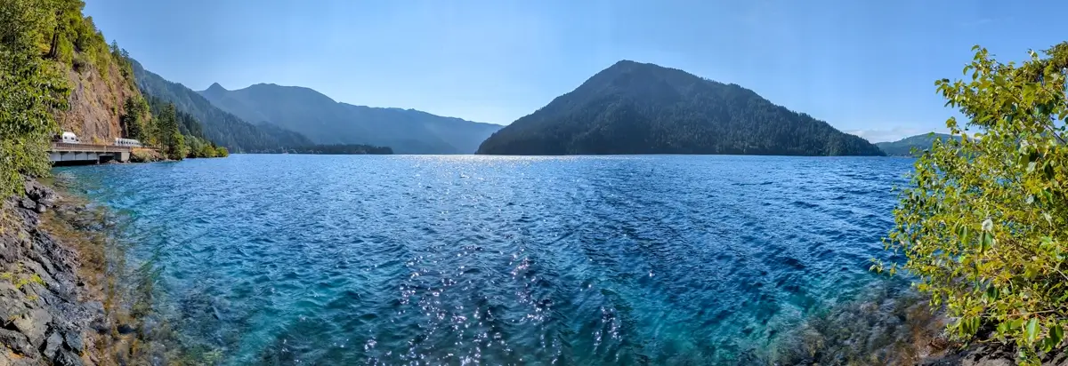
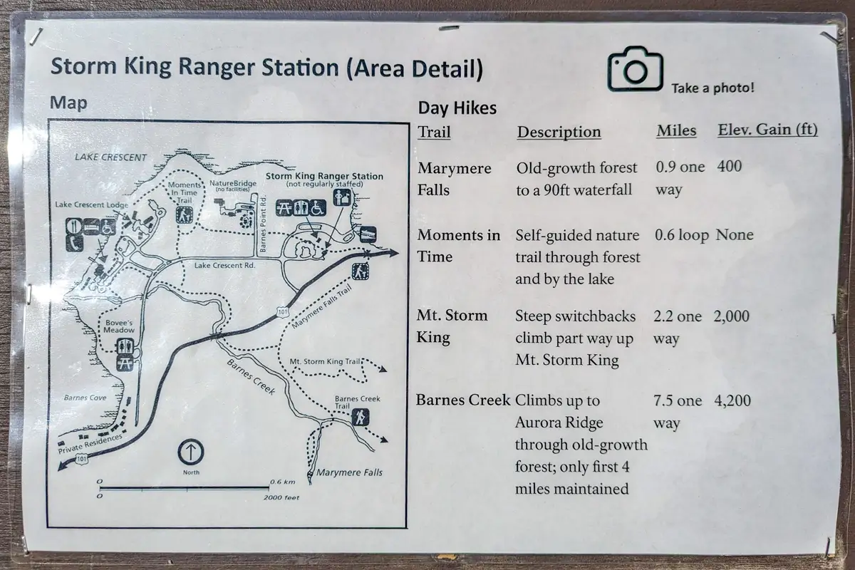
Walking out on that pier made the parking hunt worth it. The water from this glacially carved lake is so clear you can see all the way to the bottom around the pier. It’s a beautiful start before you even hit the trail. From this lot, multiple trails connect, including the Moments in Time Trail and the Storm King Trail, which branches off from Marymere.
It’s a busy trailhead for good reason, and you’ll find bathrooms conveniently located near the Marymere Falls trailhead before (or after) your hike.
Marymere sits within the National Park, so you’ll need a National Park pass for this hike. If you’re curious what we bring along for our hikes, check out the gear we use!
What to Expect on the Marymere Falls Trail
The hike begins with a short walk past the Storm King Ranger Station and along the edge of Lake Crescent before taking you through a tunnel that runs under Highway 101. We started the trail around 5 PM, and the light filtering through the trees made the whole place feel calm and tucked away.
You’re immediately surrounded by greenery—ferns line the path, and towering trees provide shade almost the entire way. The trail itself is wide, well-maintained, and easy to follow. Even though it’s a popular trail and plenty of people were visiting, it didn’t feel chaotic. Just a steady stream of hikers enjoying the quiet forest and views.
Crossing the Creek and the Climb to the Falls
You’ll cross at least two wooden bridges on your way in spanning Barnes River around the 0.8-mile mark. These crossings, along with the gentle sounds of water and the shaded path, make this hike feel immersive without being demanding.
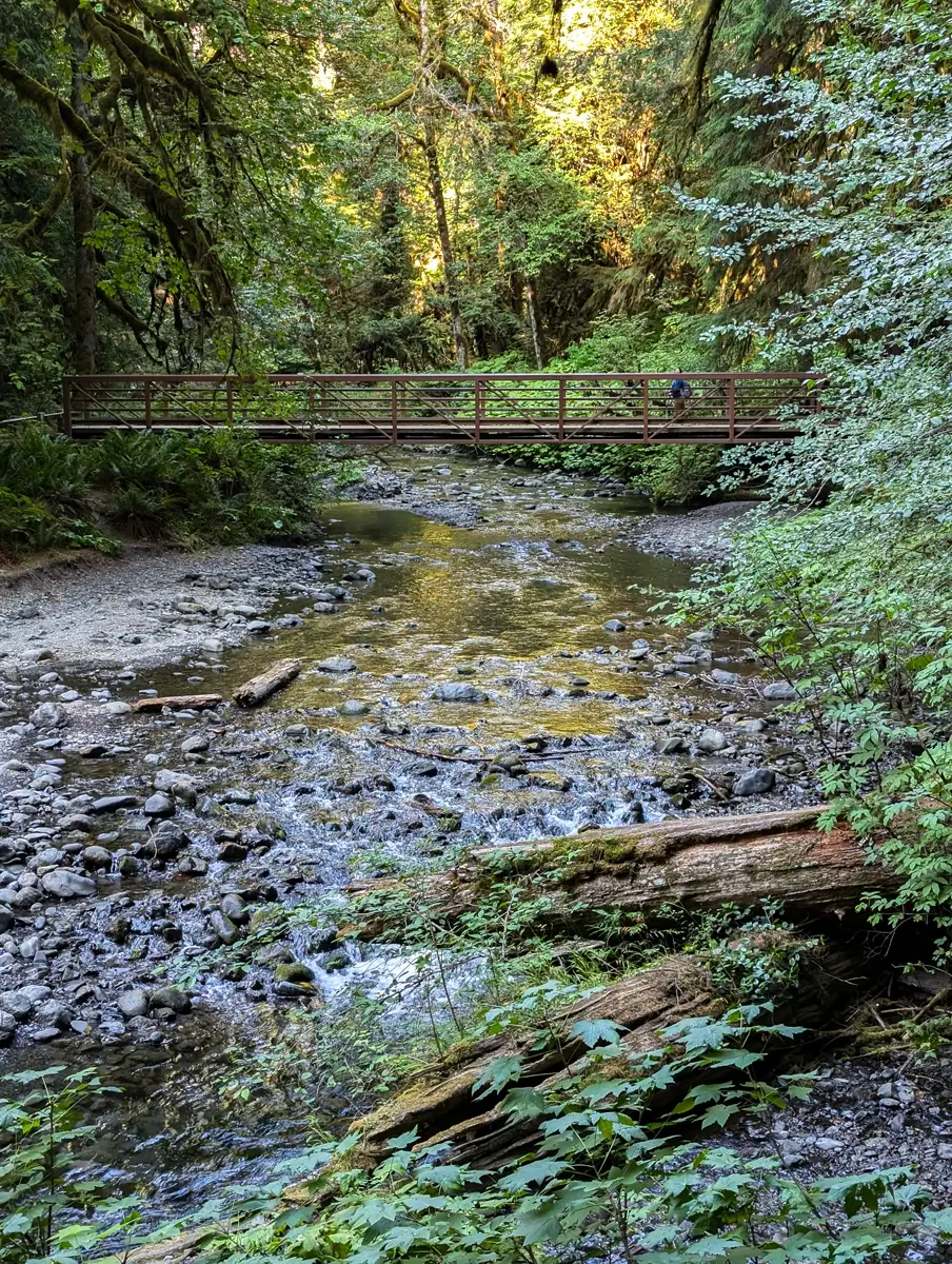
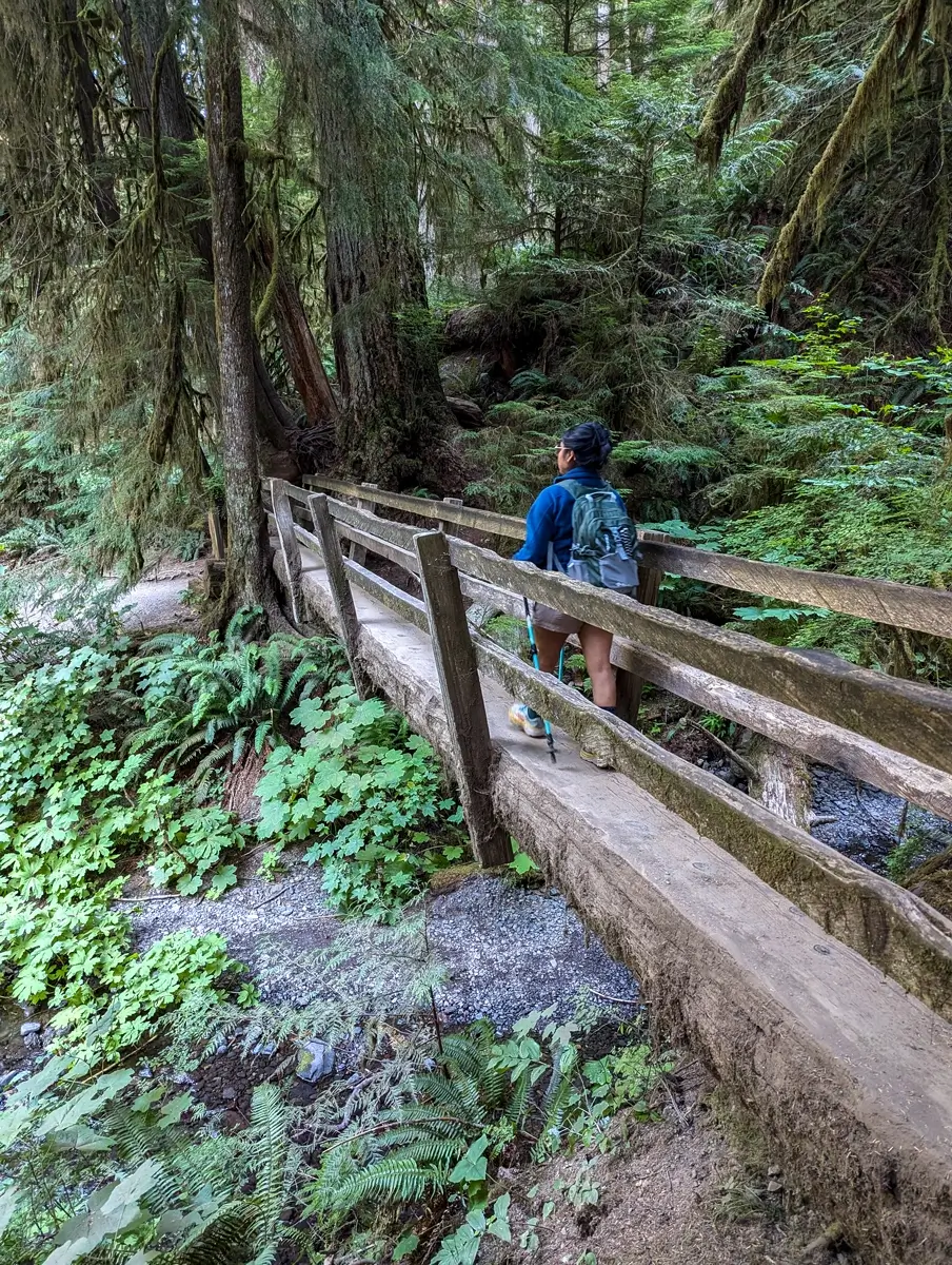
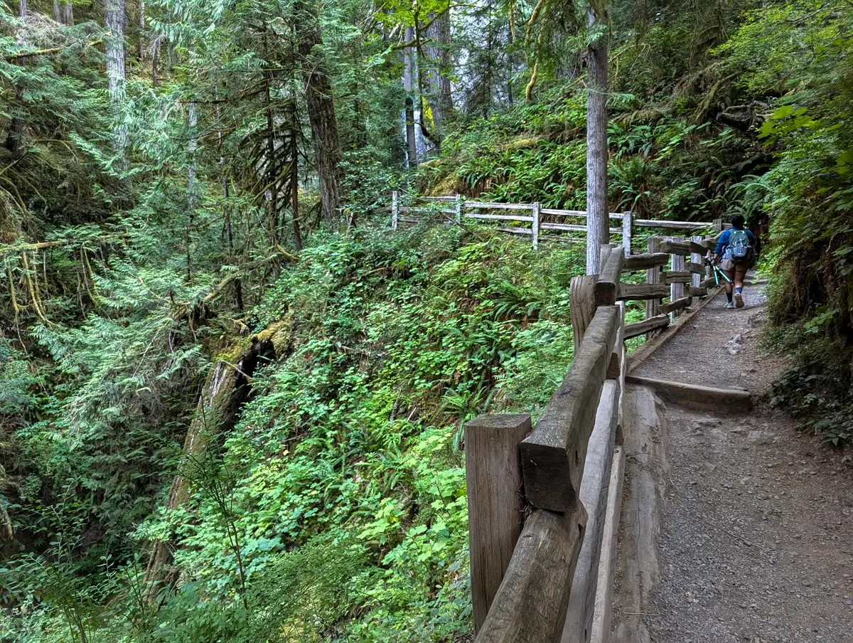
It’s at this point that the trail narrows and you begin the climb towards the falls. The final stretch gains about 183 feet in elevation with a max incline grade of 36%. Wooden railings line the path as you head uphill, and you can hear the falls before you see them. It builds a sense of anticipation that actually pays off.
Marymere Falls Viewing Platform: The Main Attraction
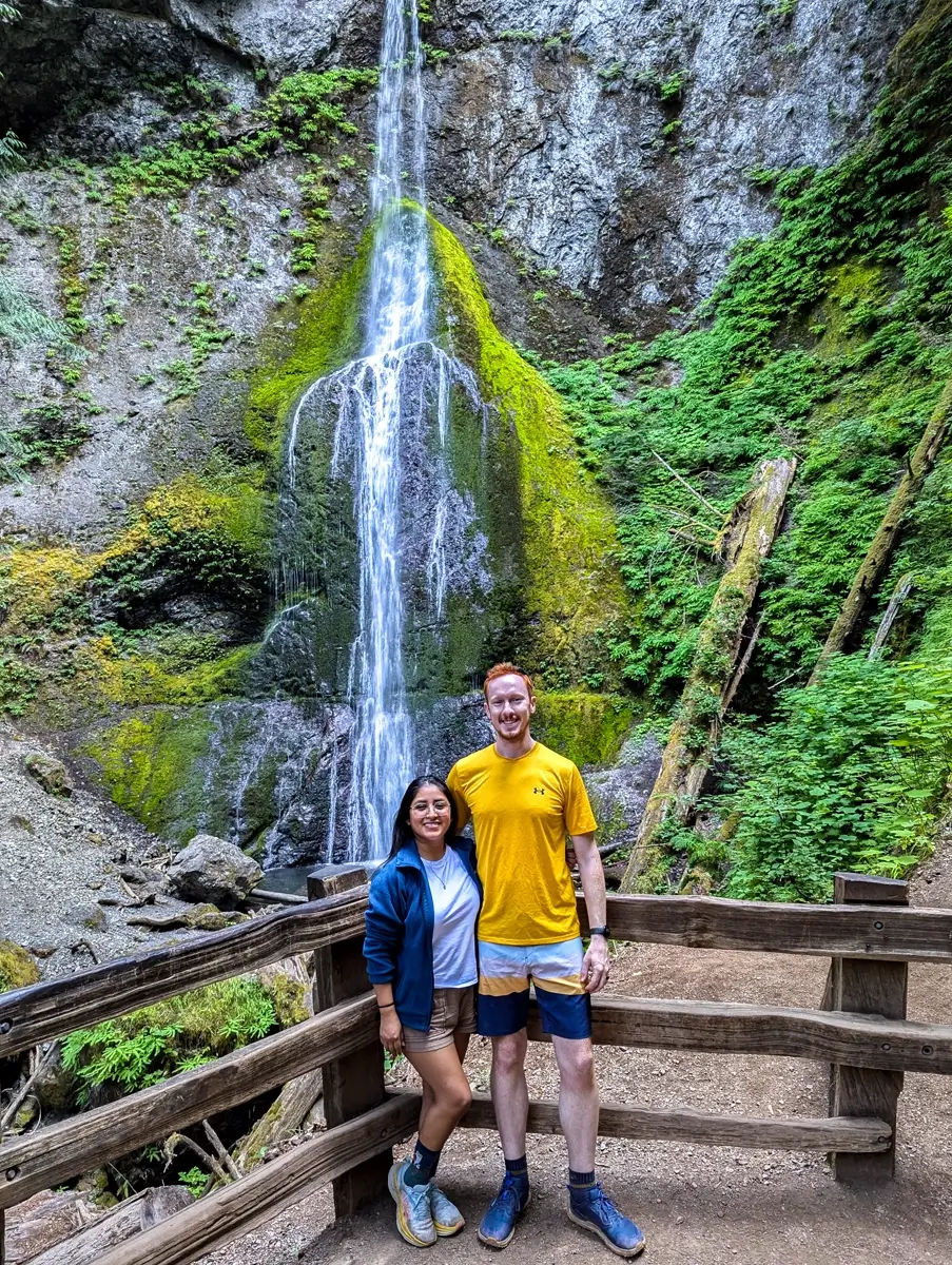
The moment that stuck with me most? Rounding the bend on that final stretch. There’s a massive tree on your right and a wooden railing on your left. As you round the corner, the trail opens up and, through the trees, you see Marymere Falls come into view.
It’s tall, elegant, and absolutely stunning. You don’t get close enough to feel the mist, but the view is perfect from the lower platform. Even with a handful of others there, everyone was courteous—waiting their turn for photos, offering to snap shots for strangers. It felt peaceful and appreciated, not rushed.
Upper Viewpoint: Another Angle of Marymere Falls
Before heading back, we followed the trail a little farther up to get a more elevated view of the falls. There’s a short loop that circles the waterfall before reconnecting to the main trail. This upper viewpoint is behind a railing too, and though it’s a bit steeper, it’s worth the extra few steps.
Please stay on the trail here—there are signs and barriers for a reason, and the surrounding landscape is fragile.
Returning to Lake Crescent: Post-Hike Views
The return hike was quick and easy since most of the incline was behind us. In total, the trail is only 1.8 miles roundtrip with 318 feet of elevation gain, but it feels like you get so much more out of it than the distance would suggest.
After finishing the trail, we spent some time down by Lake Crescent again—wandering along the shoreline and hanging out on the pier as the light started to fade. That combo of forest and lake is hard to beat.

Why Marymere Falls Is a Must-Visit Olympic NP Hike
Of all the incredible spots in Olympic Peninsula, I’m constantly reminded how accessible some of the best ones are. Like Sol Duc Falls, Marymere is proof you don’t need to hike miles into the backcountry to experience something unforgettable.
This is one of those trails that’s perfect for a late afternoon adventure, a first-time visitor, or anyone looking for a little peace and quiet paired with serious beauty.
If you’ve got more time, spots like the Hall of Mosses in the Hoh Rainforest, Ruby Beach along the western coast, the Tree of Life at Kalaloch Beach, and Cape Flattery (the northwesternmost point in the contiguous US) are all worth the drive. It’s kind of wild how many easily accessible and bucket-list places are packed into the Olympic Peninsula.
Marymere Falls Trail Fast Facts
| What to Know | The Nitty-Gritty |
|---|---|
| Parking | Limited, fills up fast |
| Trail Length | 1.8 miles |
| Elevation Gain | ~318 ft |
| Difficulty Level | Easy to Moderate |
| Estimated Hiking Time | 50 minutes – 1 hour |
| Are Dogs Allowed? | Not allowed |


Leave a Reply