When you buy through our links, we may earn a commission. See our Affiliate Policy.
Hurricane Ridge might be one of the most popular spots in Olympic National Park—but we weren’t looking for a paved viewpoint. After two weeks road-tripping around the Olympic Peninsula, including stops along the beautiful west coast beaches and waterfalls near Lake Crescent, we were excited to finally hike into the Olympic Mountains.
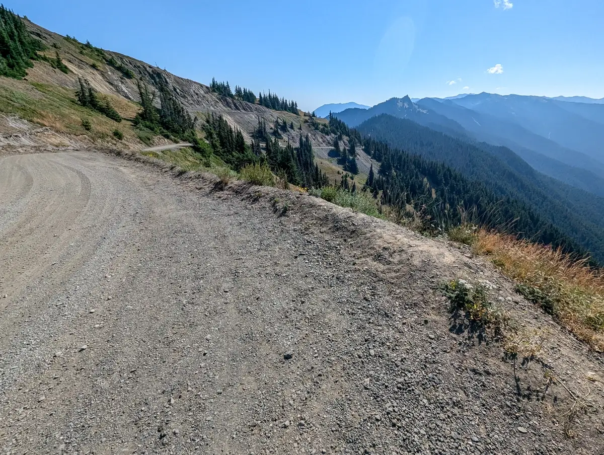
As we were researching hiking places near Hurricane Ridge, we came across Obstruction Point Road—aka “the scariest road in Washington.”
That label alone was enough to make us want to check it out for ourselves. Narrow, gravel, no guardrails, with steep drop-offs, mountain views the whole way and plenty of trails branching off the trailhead? Sounds exactly like the kind of adventure we’re into!
We’d hoped to stay closer to Port Angeles, but booking late meant high prices or no availability—so we settled on Sequim, the Lavender Capital of North America. It added 25 extra minutes of drive time, but we didn’t mind. It made a great home base for the northern part of the park.
When we finally made it to Hurricane Ridge that morning, we didn’t immediately head to Obstruction Point Road. We actually parked at the Hurricane Ridge parking lot and walked over to the start of the gravel just to see what we were getting into.
It didn’t look that bad. Sure, there were steep drop-offs and some blind corners, but nothing we would be terrified to drive on.
✨ Planning Your Trip to Olympic? Remote spots like Obstruction Point don’t have shuttle service—you’ll need your own car and a nearby stay.
🛏️ Expedia has places in Port Angeles and Sequim, many with free cancellation.
🚗 Rentalcars.com helps you find the best deal for the mountain drive.
Table of Contents
- Driving the “Scariest Road in Washington”
- Arriving at the Obstruction Point Trailhead
- Hiking the Grand Valley Trail from Obstruction Point
- Glacial Ponds, Snow Patches, and Solitude
- Returning Along the Grand Valley Trail
- Back to the Pavement
- Is Obstruction Point Road Really That Scary?
- Why Obstruction Point Belongs on Your Olympic National Park Itinerary
- Quick Tips for Visiting Obstruction Point and Hiking Grand Valley Trail
- More Olympic Peninsula Hikes We Loved
Driving the “Scariest Road in Washington”
Obstruction Point Road is only 8 miles long, but you’re not getting to the trailhead quickly. It’s one-lane, gravel the whole way, and you’ll probably average around 10 mph—slower if you’re extra cautious. It winds through the mountains, hugs the edge in a few places, and has plenty of blind corners and dust kicked up by passing cars.
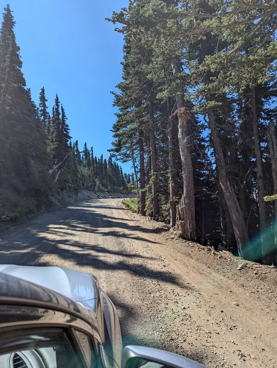
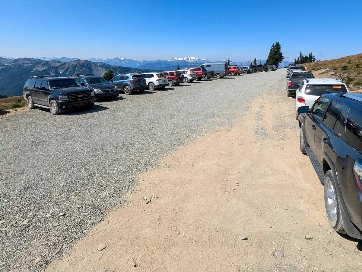
We were in our 2020 Subaru Legacy, which handled the road without a problem. Honestly, once we made it to the parking area, we saw all kinds of cars parked up there—including a Prius. So if you’ve been scared off by people online saying “only high clearance vehicles can make it,” ignore that. If a Prius can do it, you probably can too.
You don’t need an SUV, but having your own car is a must for places like this. Rentalcars.com makes it easy to find something reliable if you’re flying in.
Driving close to the rocky edge, kind of like the drive out to Cape Flattery (the northwesternmost point in the contiguous United States), meant Minerva wasn’t too thrilled. On the way in, the passenger sits on the side closest to the drop-offs.
But we were both blown away by the views. There’s something wild about driving through the Olympic Mountains on a gravel road with nothing between you and the edge but open air.
We started the drive a little after 10am, under a clear blue sky. We passed maybe 2 other cars coming the other way, and when we arrived at the Obstruction Point Trailhead, the small parking lot was already full. But there’s room to park safely, and single file, along the road (don’t worry—it’s not next to a cliff).

Arriving at the Obstruction Point Trailhead
After all the online hype about the road being “dangerous” or “terrifying,” we were thrilled we didn’t let that stop us. The views were incredible. Obstruction Point sits above 6,000 feet, and from the parking area, it feels like you’re already standing on top of the world.
We popped open the trunk and started getting our gear together. This wasn’t going to be an all-day hike since we’d left our dogs back at the Airbnb, so we packed light—hiking poles, sunglasses, hats, and our backpacks with water bladders.
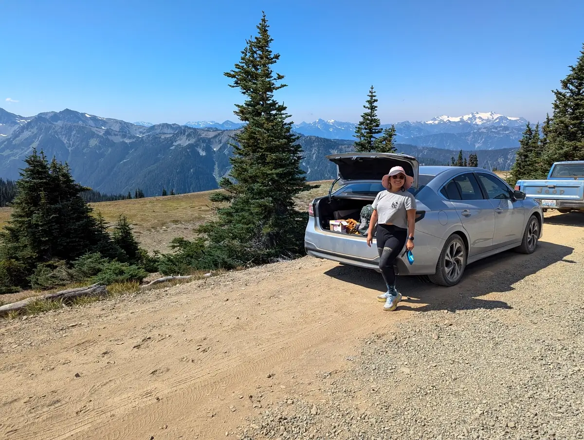
Since you’re heading into the mountains and walking along ridgelines, we also brought our Garmin inReach Mini 2 and some of our usual emergency gear (like ropes and carabiners). Just in case.
If you’re curious what we bring along for our hikes, check out the gear we use!
What surprised us most was how quickly it felt remote. Hurricane Ridge is beautiful, but this felt different. You’re stepping off the end of the road and into actual backcountry. Just eight miles beyond one of the busiest viewpoints in the park—and it already felt like another world.
Hiking the Grand Valley Trail from Obstruction Point
We didn’t really pick the Grand Valley Trail with any deep planning. It was one of the trails that branched off from the Obstruction Point Trailhead, and we figured we’d hike a couple miles out, see how far we could get, then turn around in time to get back to the pups.
Our original plan was to do the Grand Pass Trail down towards Grand Lake—but once we started walking, we kept stopping to take in the views and never really got out of the valley.
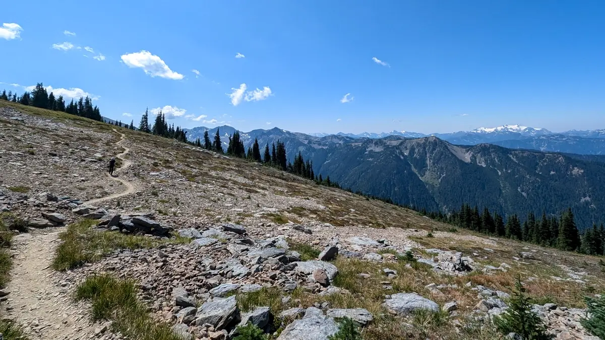
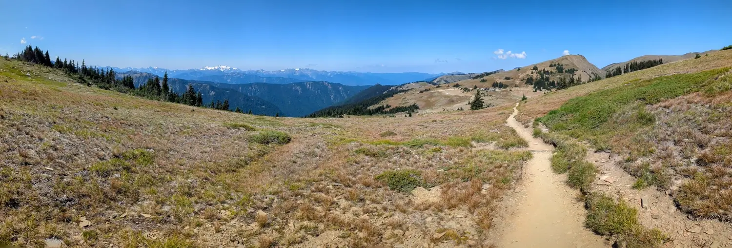
The trail starts off open, dry, dusty and exposed. Not much in the way of trees or shade. The sun was out, but since we were above 6,000 feet, it didn’t feel too hot—more like a cool summer breeze. Still, we were glad to have our wide-brimmed hats and sunglasses. You’re fully in the sun up there.
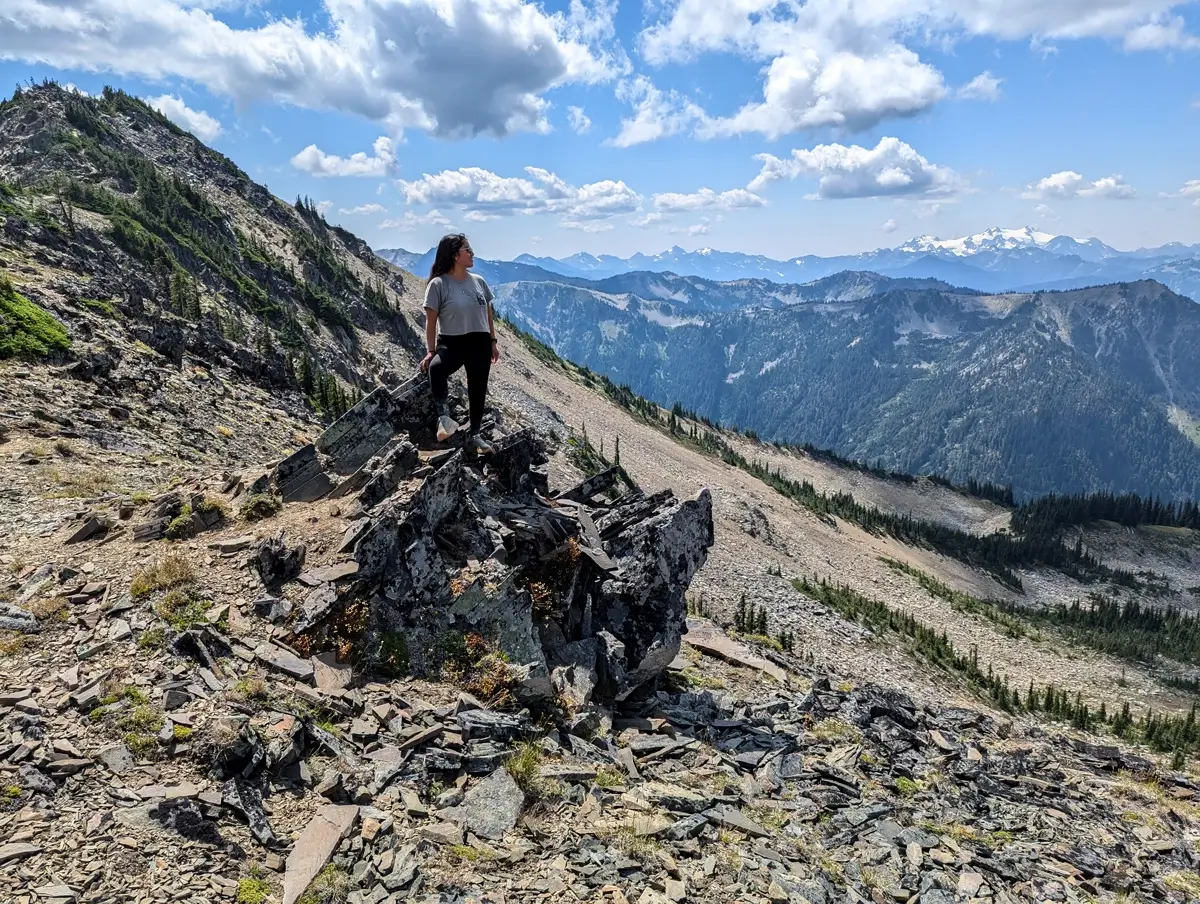
The trail loosely follows the ridgeline, so while you’re not walking right on the edge, there are moments where you can get pretty close. It never felt dangerous, but there were definitely a few spots where we were happy to have hiking poles for extra balance. The ground is uneven in parts, a little loose in others, and just steep enough to make you pause if you’re not used to hiking with big views dropping off beside you.
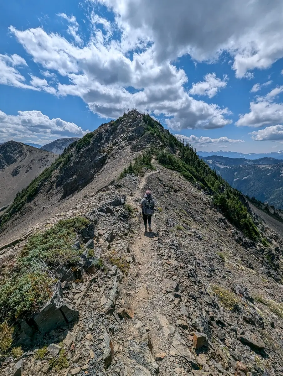
Along the way, we spotted clusters of wildflowers—yellows, purples, even some reds—sprouting out of the rocky dirt. We didn’t know what most of them were (a quick Google search says maybe cinquefoil, harebells, and possibly Lapland diapensia?), but they were striking against the otherwise dry and rugged terrain.
And then, about 1.6 miles in, we spotted this short little offshoot—just a narrow rocky hill right off the trail. We hiked up, and when we got to the top, it was one of those holy cow moments. Straight ahead: Mount Olympus, snow still clinging to its flanks, clouds casting slow-moving shadows over the range. Honestly, we could’ve just stayed up there all day.
Glacial Ponds, Snow Patches, and Solitude
Just before the trail dips down toward Grand Lake—around the 2-mile mark—we decided to call it. From that spot, you can look down into the valley and see the lake below. It’s a beautiful view, but we knew if we went further, it’d be a tougher climb back up and we still needed to get back to let the dogs out.
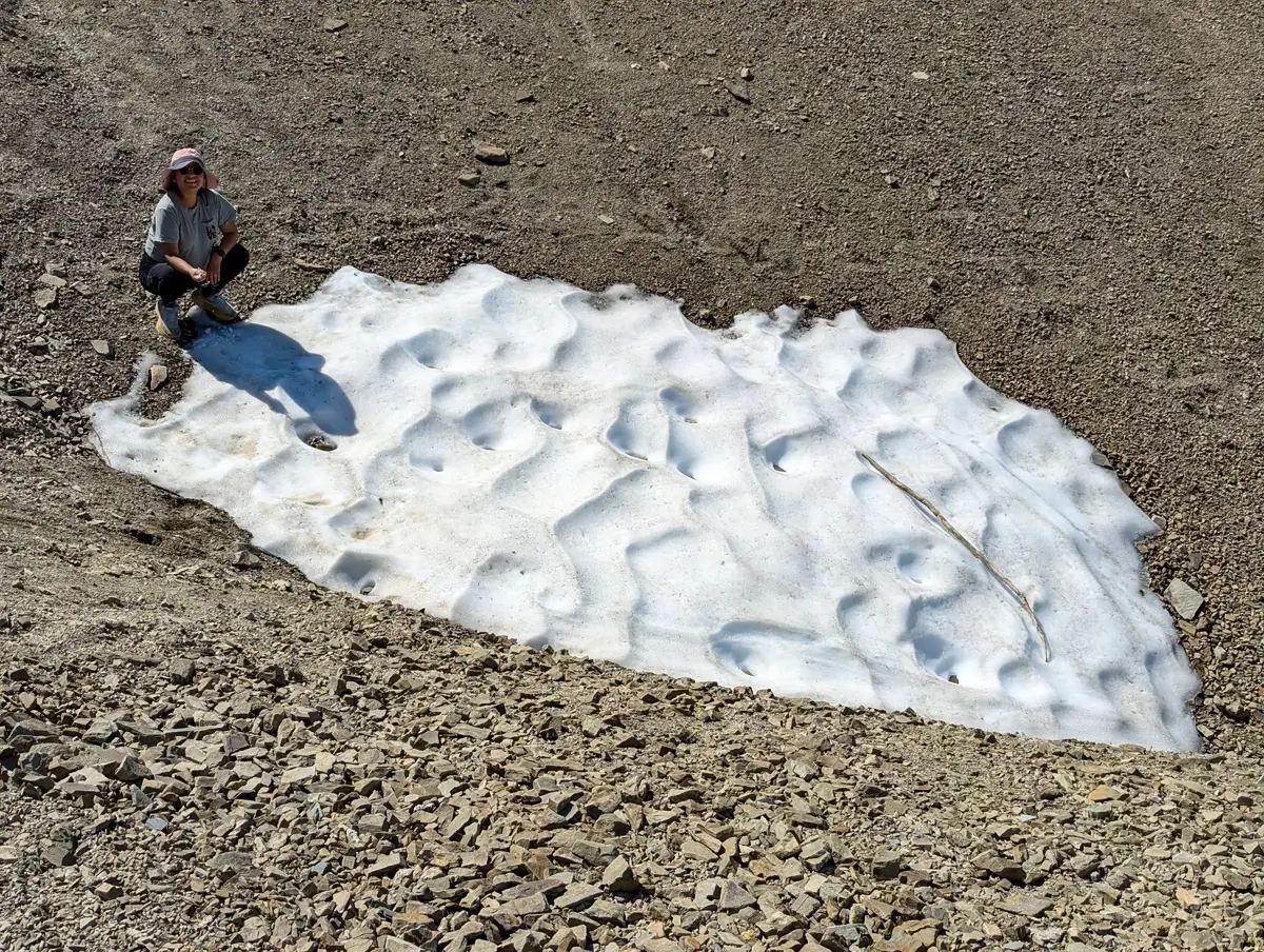
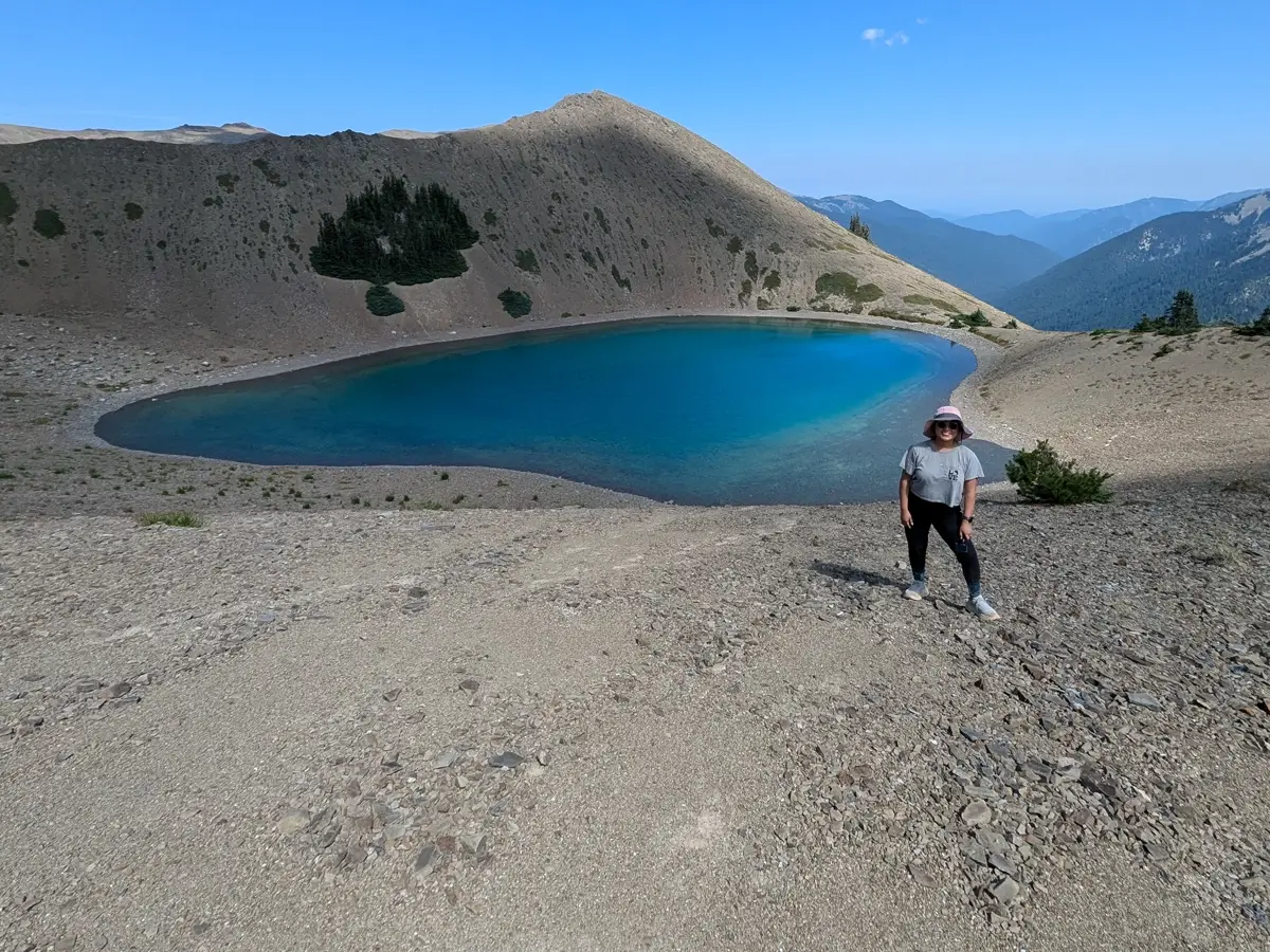
Even in just two miles, we saw way more than we expected. Small ponds that looked like nothing from a distance, turned out to be brilliant blue pools—probably glacial melt. We even found a few lingering snow patches tucked into shady spots on the mountain, which was surprising given how warm and sunny it was.
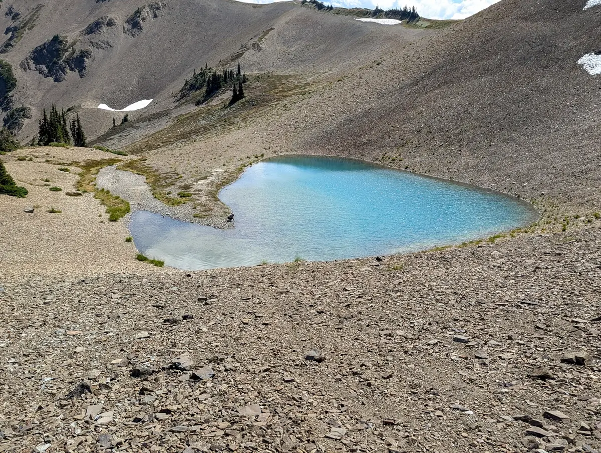
We didn’t hear much—just the wind, our footsteps, the occasional clink of hiking poles on rock, and the faint rustle of trees near the turnaround point. No crowds. Just a few hikers, spaced out enough that it felt like we had the place to ourselves.
Returning Along the Grand Valley Trail
On the way back, we started noticing things we’d completely missed on the hike out. More flowers. The patterns in the rock. The way the light had shifted across the landscape. That’s one of my favorite things about out-and-back hikes—you get a second round of discovery without trying.
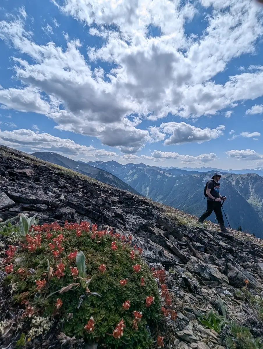
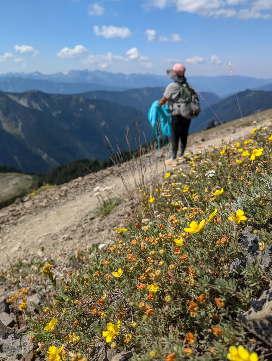
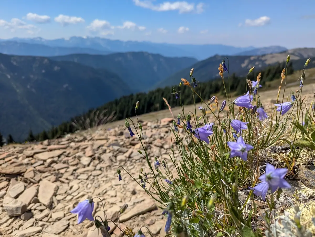
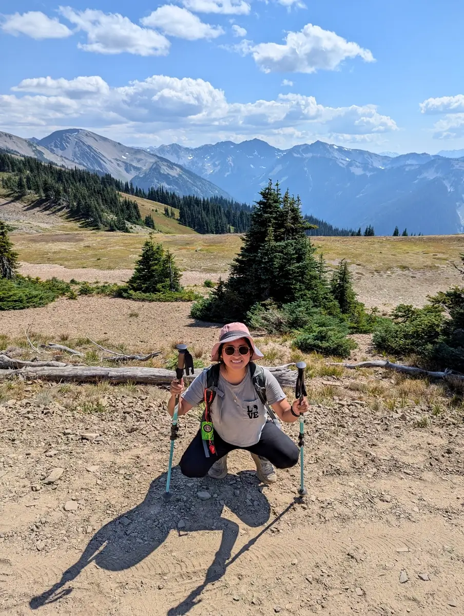
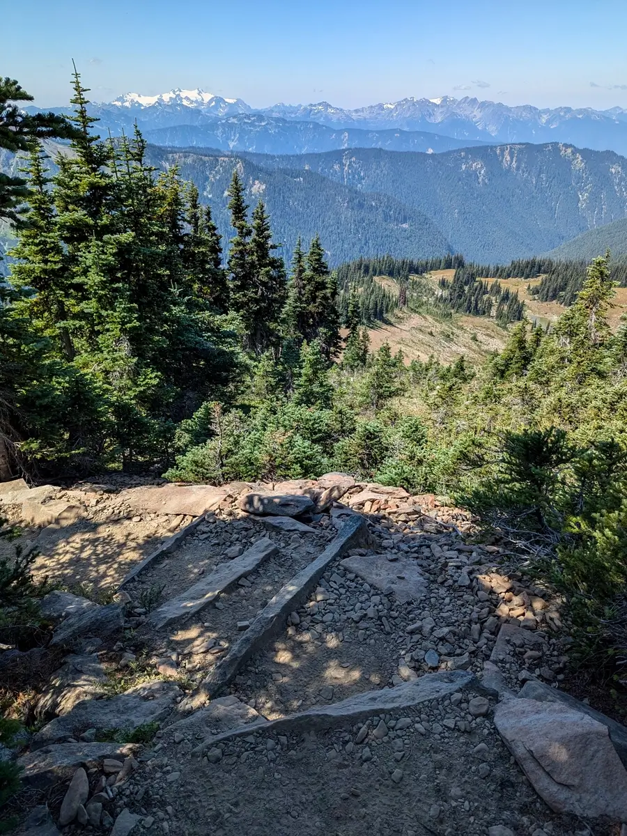
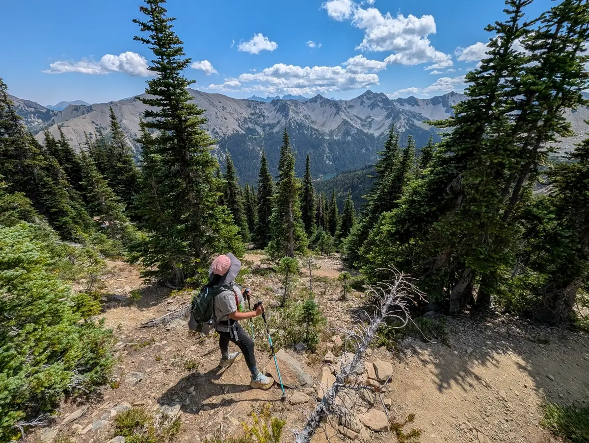
And the views? Still jaw-dropping. Still hard to believe this kind of trail exists just eight miles beyond the crowds of Hurricane Ridge.
Back to the Pavement
The drive back along Obstruction Point Road wasn’t much different than the way in. We ran into a few more cars, but by that point we had a rhythm—spot a dust cloud ahead, pull into a turnout, let them pass. Easy enough.
By the time we reached the paved road again, we had that satisfied, sun-tired, dirt-on-your-legs kind of feeling. We didn’t just visit Olympic that day—we stepped into it.
Is Obstruction Point Road Really That Scary?
Not really. We get why people call it “scary” because it’s narrow, it has drop-offs, and if you’re not used to gravel or mountain driving, it might be a bit stressful. But if you take it slow and stay alert, it’s no big deal.
And frankly, the people who write it off are missing out on one of the most scenic and rewarding hikes in the park.
Why Obstruction Point Belongs on Your Olympic National Park Itinerary
If you’re visiting Olympic and looking for something beyond the standard stops, this is it. You don’t have to hike the whole Grand Pass Trail or go deep into the backcountry to feel like you’ve earned the view. Just making the drive out to Obstruction Point and hiking a couple miles into the mountains gives you a whole new perspective on the park.
Would we do it again? Absolutely. Next time, we’d love to hike all the way down to Grand Lake and maybe even do the Grand Valley Loop. But even just those first few miles gave us one of our favorite days in Olympic.
Quick Tips for Visiting Obstruction Point and Hiking Grand Valley Trail
- Start early. The trailhead lot is small, and it fills up fast.
- Drive slow and steady. The road is fine—just take your time.
- Bring hiking poles. Especially if heights or loose rock make you uneasy.
- Wear sun protection. The trail is fully exposed.
- Leave the pups behind. Dogs aren’t allowed on this trail, so plan ahead.
More Olympic Peninsula Hikes We Loved
If you’re heading to Obstruction Point, chances are you’re planning to see more of Olympic National Park—and you should. This place is packed with incredible hikes and views that feel nothing alike. Here are a few of our other favorites nearby:
- Shi Shi Beach – Rugged, remote, and absolutely worth the effort. The tidepools and sea stacks at Point of the Arches were unreal.
- Cape Flattery – The northwesternmost point in the lower 48. It’s a short walk with a big payoff: ocean cliffs, sea caves, and wide open views of the Pacific.
- Hall of Mosses – A quick loop in the Hoh Rain Forest that makes you feel like you’ve stepped into another world. Lush, quiet, and dripping with moss.
- Marymere Falls – A peaceful forest walk near Lake Crescent with a waterfall that feels like it’s tucked into a fairytale.
- Sol Duc Falls – A short but rewarding hike with one of the most powerful waterfalls we’ve seen in the park.
Each of these is totally different from hiking Grand Valley—but just as memorable in its own way.


Leave a Reply